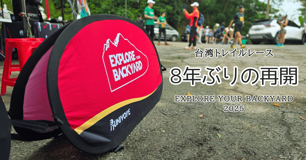
In this article, we will write about the race from the start to the finish line. (The article of the first part is below.)
On race day, the forecast called for a high of 29 degrees, cloudy and sometimes sunny. However, I felt that it was about 35 degrees Celsius. The humidity was high, there was almost no wind, and the sun was strong. The conditions were not suitable for running.
Course Summary
Please refer to the Strava log for the course. The cumulative elevation was 755 meters.
The elevation table is as follows. The highest point was about 250m in elevation. The route is almost the same as the course run by MTB for the triathlon to be held the next day. It did not feel like a peak hunt, which is common in trail running races.
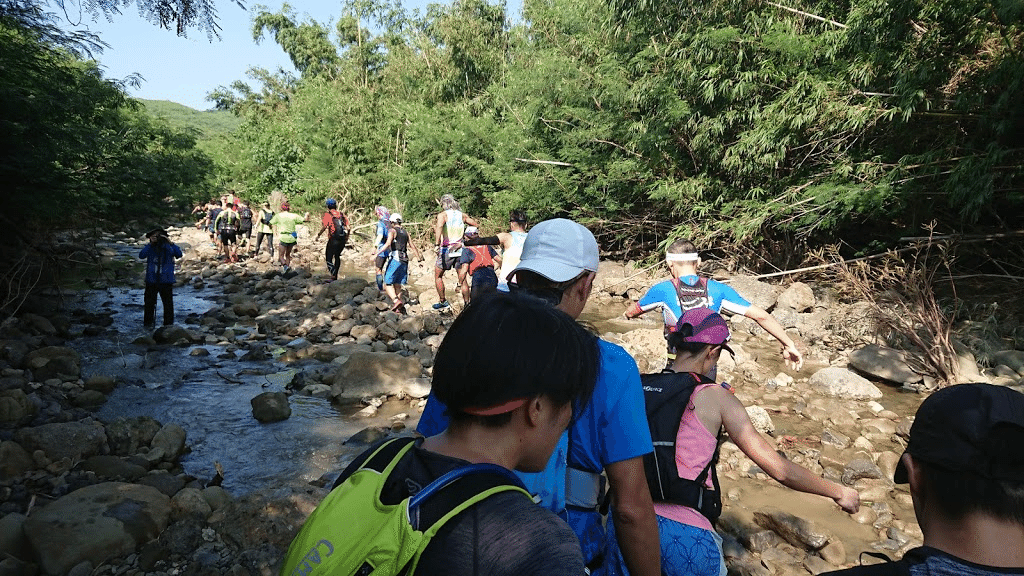
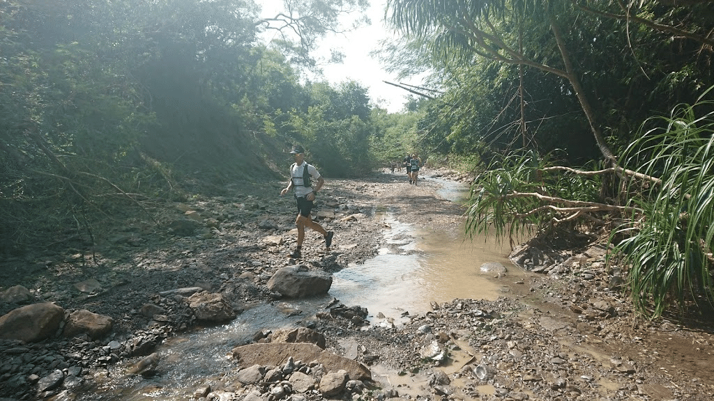
The course was more like an adventure race. It is not steep, but it is designed in a way that is not often seen in Japanese trail running courses, and it is common to get your shoes soaked and muddy (laugh). However, this course tends to be seen mainly in the early and late stages of the race.
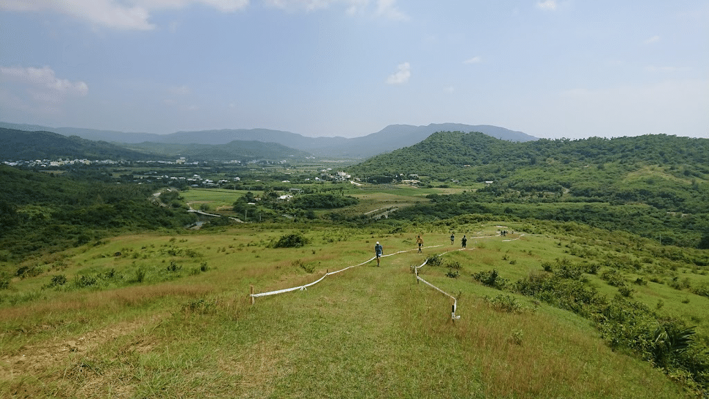
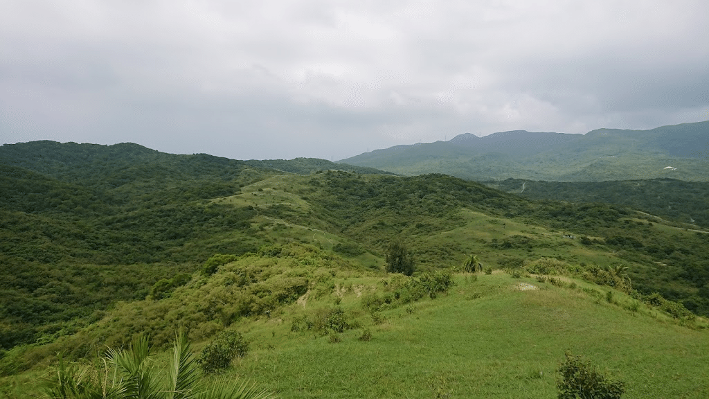
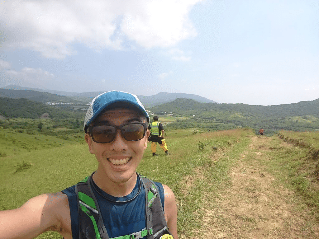
In the middle part of the race, the following trails with good visibility can be ridden. You can run with a great view of the mountains that make up Kenting National Park. The ups and downs are not too tough, so we felt that the trail would be pleasant to run if the temperature were not too high.
Aid stations
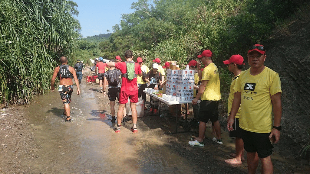
There are a total of six aid stations. There is an aid station approximately every 3 km. I am not sure of the exact distance, but the aid stations are located at the following points.
- 3km
- 6km
- 10km
- 15km
- 16km
- 19km
The following items are provided at aid stations.
- Water
- Pocari Sweat
- Rations (varies slightly from aid station to aid station. Bananas, chocolate, energy gels)
- Supplement (BCAA)
Since this was the first time for me to run this event, I had no information at all, so I prepared about 1 liter of water for the run, but to be honest, it was unnecessary (laugh). However, the conditions were very hot and humid with high temperatures, so it would be better to ensure that you have something to drink and water to pour over your body.
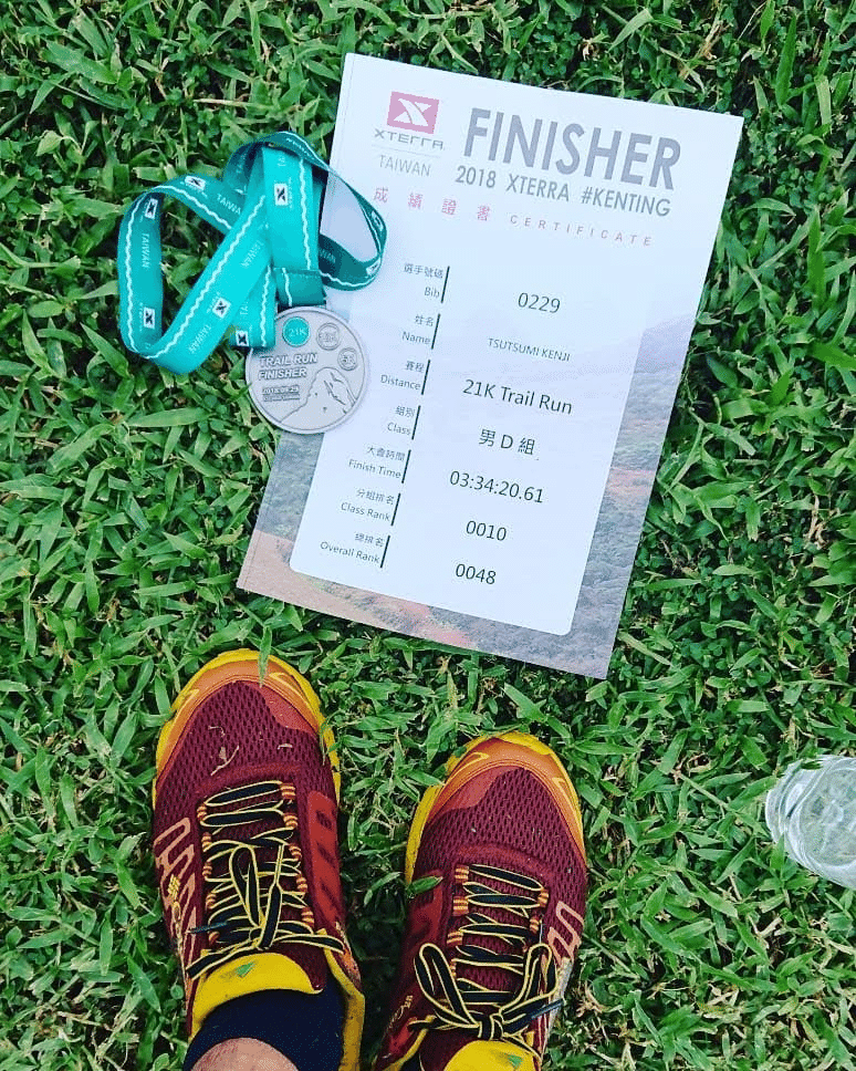
After the actual run
The distance of 21km and the cumulative elevation of 755m are short for a trail race, and the elevation is not high, so from a numerical point of view, it seems to be an easy race. However, the temperature/humidity was high, as was the condition of the trail surface, making it a tough race. When I finished the race, I felt like I had already run about 40km of the race. It was so hot from the start that I felt it was dangerous to go fast. It was so hot that even the local Taiwanese people complained, “It’s so hot, I’m going to die…” (热死了), as did I, a Japanese from Japan.
However, thanks to the large number of aid stations, I was able to run without worrying about water. I was also able to chat with a few Taiwanese people in English and some in broken Chinese, which helped to take my mind off things. I was also able to talk with some Taiwanese who could speak Japanese. It is really comforting to be able to speak one’s native language in a foreign country. I have run many races overseas, but I feel more relaxed when I meet Japanese people there.
Also, looking back on how my own race went… To be honest, I was disappointed that my pace did not improve in the first half of the race, but I felt it was good that I showed persistence in the second half and was able to increase my pace and improve my position. In this temperature range, suddenly increasing the pace would have increased the risk of heat stroke, so I feel it was a good thing that we were able to do so. I realized once again that in trail races, heart rate management is more important than pacing.
At the end
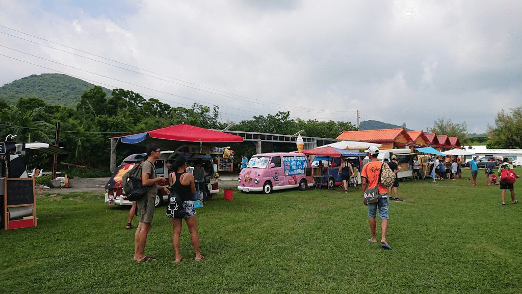
After the finish, I spent some time relaxing around Luk Fook Villa, drinking sample Redbull and tapioca milk tea. In my broken Chinese, I had a light conversation with a Taiwanese runner, and was glad to be welcomed by him, saying, “I’m glad you came from Japan!
I also received some unexpected words from the race director. I also received an unexpected word from the race director: “Thank you for featuring XTERRA TAIWAN on your Facebook page and blog.” And, “Thank you so much for introducing XTERRA TAIWAN on your Facebook page and blog. I was very happy to hear that the organizers knew about GO ASIA TRAIL. This was a surprise. I was surprised to hear that the shouts of “Japan! before the race may have been the reason why they called out to us, “Oh, that person is Japanese, maybe… It will be fuel for me to continue writing about Asian races in the future. Thank you! 谢谢你!
Reference
The photos during the race were taken by the Taiwan branch of “All Sports,” a well-known Japanese company. They wait and take pictures in places that look very picturesque, such as climbing a stream or where water is about to be splashed. There are some cool pictures, but it seems that you have to specify an address in Taiwan to get there, so what should runners from overseas do… (laughs)